Surveying

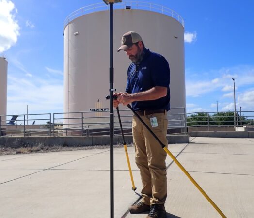
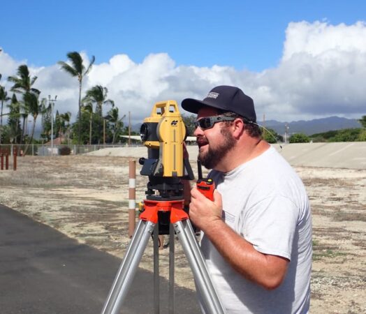
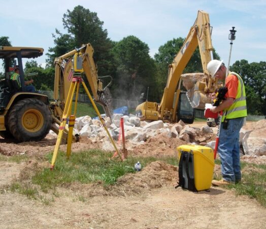
Accuracy, responsiveness, and experience are Stratus trademarks. We bring years of experience to the industry, and our state-of-the-art robotic and GIS technology ensures both speed and accuracy. Tasks that used to take days can now be accomplished in hours, as our surveyors access information more quickly and accurately than ever before. Our surveying capabilities ensure seamless transition and continuity throughout the design and construction process.
Stratus’ surveyors are skilled and experienced in the following types of services: boundary and topographic surveys; construction services; as-built surveys; utility mapping; control surveys; and GIS services. Stratus provides digital output in various formats (MicroStation, CaiCE, AutoCAD, TerraModel, ArcView, and digital county tax maps), utilizing the latest technologies.
As a full-service survey team, we also provide utility mapping services, both horizontal and vertical utility locations, and capabilities to locate underground utilities in utility route surveys as well as large, concentrated site utility surveys. Senior surveyors are specially trained in Subsurface Utility Engineering (SUE), able to oversee utility mapping, coordination, and relocation projects using ground-penetrating radar. We can provide clients an SUE adhering to any desired Quality Level from A through D.
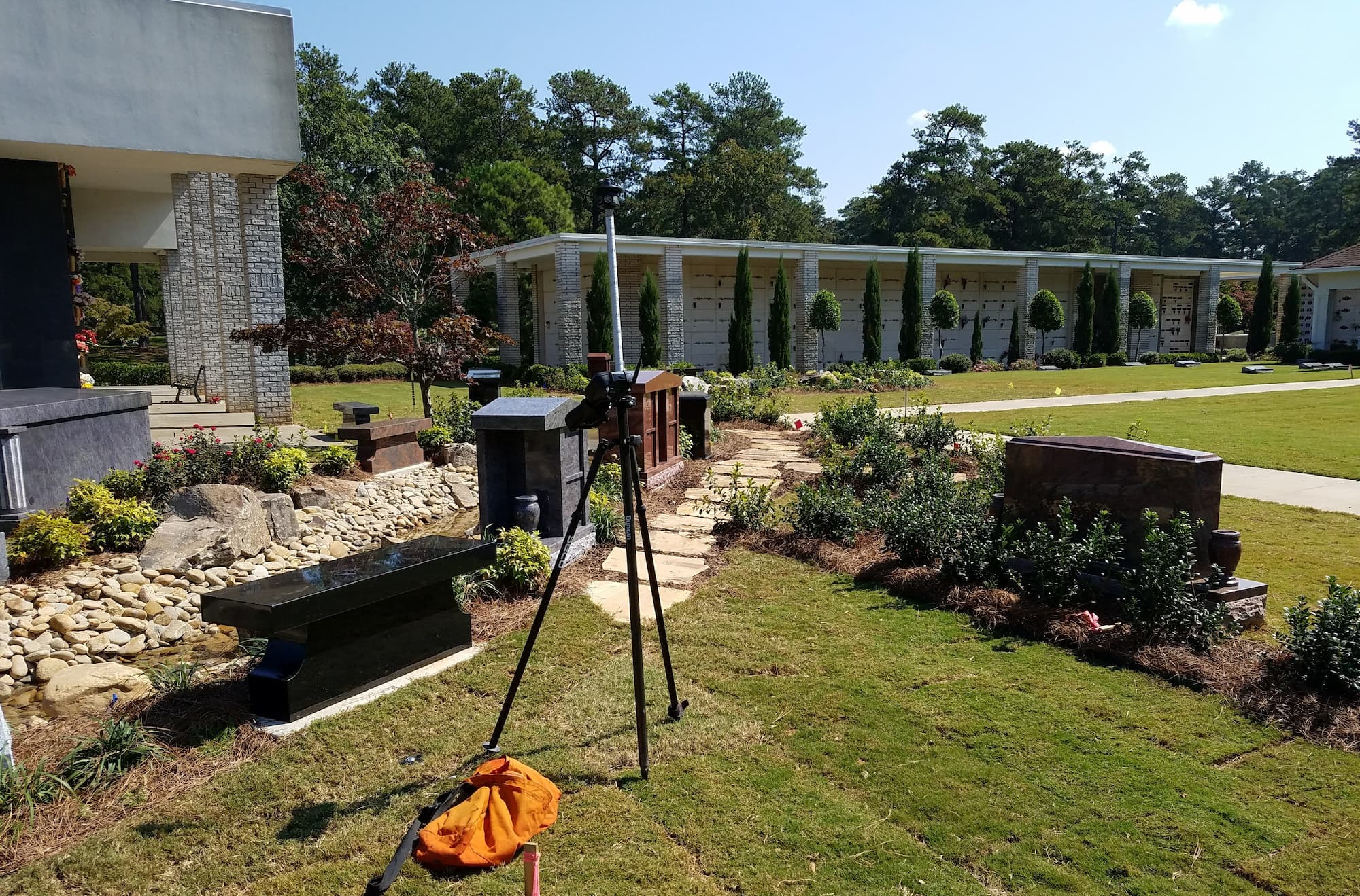
Additionally, our surveyors have the expertise and technology to generate three-dimensional laser maps of complex or obstructed terrain. Using our state-of-the-art Faro Focus 3D laser scanners, we capture fast, straightforward and highly accurate measurements of complex objects and infrastructure. The scanner’s built-in eight-megapixel, HDR camera captures detailed imagery easily while providing a natural color overlay to the scan data, allowing work to continue regardless of lighting conditions. We then import the scan into our AutoCAD software to generate an exact image of the site. This technology saves time and money on both engineering and construction surveys.